C-Map MAX
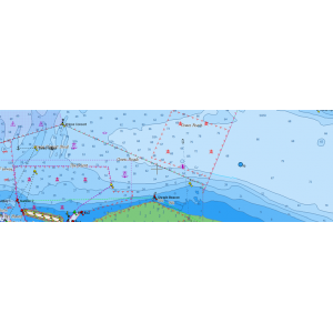
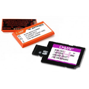
C-MAP MAX electronic charts have been a worldwide standard for years, providing cruisers, sailors and fishermen with the accurate, up-to-date chart data they need to enjoy each day on the water. Still a leading choice of navigators and chartplotter manufacturers around the globe.
- Updated twice annually to provide all the latest detail and information
- Compatible with dozens of chartplotters from top manufacturers
- Extensive coverage of coastal waters, lakes and rivers
- Local, Wide and MegaWide coverage for all charting needs and budgets
- Please check compatibility with your chartplotter before proceeding with an order.
Key Features
Dynamic NavAids Includes detailed on navigation aids including name, colour, information on frequency, range of light etc.
Dynamic Tides and Currents predict the time, level, direction and strength of currents and tides
Guardian Alarm performs an automatic forward scanning check for obstacles. Use this feature as an added backup to alert you if you head towards a potentially harmful object
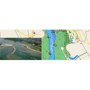
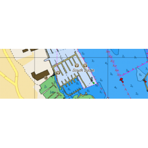
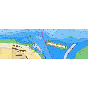
Detailed Marina Port Plans ensure that docking in an unfamiliar port is no problem with precise layouts including slip spaces, restricted areas and other valuable information
Photos and Diagrams predict the time, level, direction and strength of currents and tides
Route Check is an extension of Guardian Alarm helping to keep you safe by indicating obstacles along the segments between waypoints
Depths and Land Elevation show the usual depth information and colours make it easy to distinguish different water depths and land elevations
Perspective View performs an automatic forward scanning check for obstacles. Use this feature to give a birds eye view of your navigation area
Marina Port Database displays harbour hours, harbour master contact info, nearby lodging Y restaurant options, VHF call-in details, photo's and much more
POI's allow you to find local services and cultural highlights
Fishing Contour Charts help you spend less time searching for fish and more time catching them, Available for both NT+ and MAX compatible chartplotters
C-MAP MAX Charts are compatible with the following Chartplotters:
Advansea: C56, T50 and T56
B&G: Sailmath - Deckman
Comar: CSD 300
Comnav: X5
Digital Yacht: CLA2000
Em-Trak: AIS A300 and AIS B400
Furuno: GP7000/NT, GP7000F/NT, Navnet VX2 GP-1720C, Navnet VX2 GP-1920C, Navnet VX2 RDP 148, Navnet VX2 RDP 149, NavnetVX2 1724C/NT, NavnetVX2 1734C/NT, NavnetVX2 1824C/NT, NavnetVX2 1834C/NT, NavnetVX2 1934C/NT, NavnetVX2 1944C/NT, NavnetVX2 1954C/NT and NavnetVX2 1964C/NT
GME: G142C, G142CFD, G156C, G156CFD, G180C and G180CFD
Hondex: HDX-121 and HDX-121BB
Icom: Marine Commander
JMC: CP-700, NP-120 MAX, NP-90 MAX, Super Pilot MAX III, V-120P MAX and V-90P MAX
Koden: GTD-120, MDC-5000 Series, MDC-5200 Series, MDC-5500 Series, MDC-7000 Series, MDC-7900 Series, KSD1100 and KSD1200
Lorenz: ATOM 12 /12+, ATOM 9 / 9+, Magnum Pro HD and Magnum Pro HD Wi-Fi
Northstar: M121 and M84
ONWA: Kcombo-7, KP-1299 (all models), KP-6288, KP-6299 (all models), KP-708, KP-8299 (all models), KM-8 (all models), KM-12 (all models), KM-38 (all models) and KM-39 (all models)
Samyung: FE8, FE88 A, FEG1041, N/NF100, N/NF120, N/NF3800, N/NF430, N/NF500, N/NF5100, N/NF560, N/NF700, N/NF80, N/NF800, NAVIS650, NAVIS650F, NAVIS700, NF602 A, NF882 A, SI-30 and SI-60
Seiwa: EXPLORER 23 /23 Wi-Fi, FT70, SW1101, SW501 (all models), SW701 (all models), SWx 1200w/1200cw and SWx 900w/900cw
Simrad: NX40 and NX45
Si-Tex: EC11, EC5 (all models), EC7 (all models), Explorer NAV PRO/ NAV PRO Wi-Fi, NavPro 1200C/1200F, NavPro 900C/900F, SAS-600, SAS-900, SNS-1100, SNS-700E/EF, SNS-700I/IF, SVS 1010C/CF, SVS 460C, SVS 560CF, SVS 880C/CF, SVS-750C/CF, SVS-760C/CF and TRAWL PLOT12SD 12.1
Standard Horizon: CP190i, CP390i, CP590, CPF 190i and CPF 390i
Xinuo: HM-1507, HM-1512, HM-1518, HM-1718CDMA, HM-1815, HM-1817, HM-5907, HM-5912, XF-1069/1069B, XF-520, XF-607B, XF-608, XF-808, XF-816 and XF-918
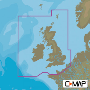
C-Map MAX UK and Ireland Chart
- Brand: C-Map
- MPN: M-EW-M226
- Model: MAX
- Availability: Pre-Order
- Lead Time: 1-2 days
-
£255.48
- Ex VAT:£212.90
Available Options
Related Products
C-Map MAX Small Area UK
£173.40 Ex VAT: £144.50
Tags: CMAP Max Charts, CMAP Charts, C-MAP MAX, C-MAP charts, CMAP local, C-Map local, CMAP UK, C-MAP UK


